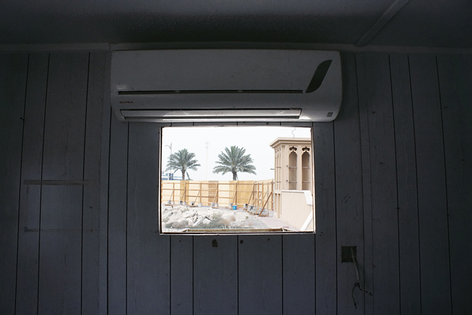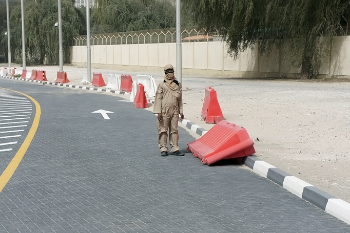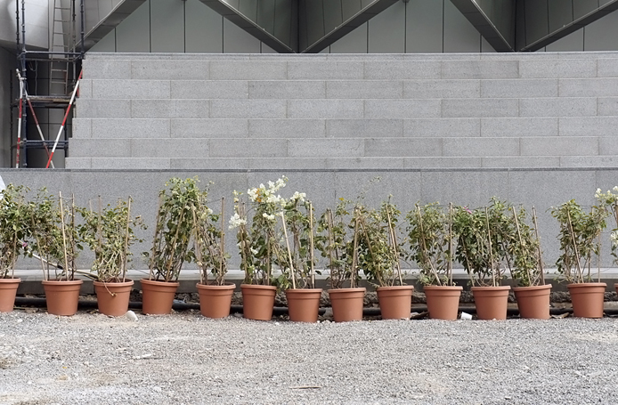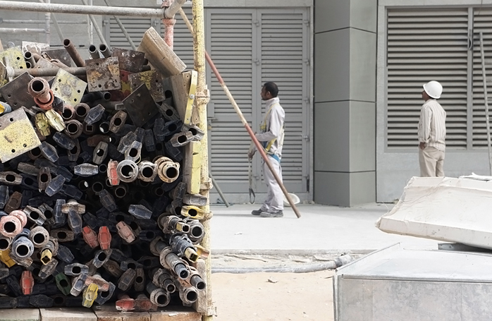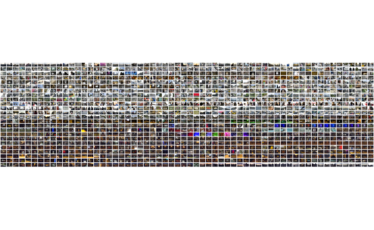
Mappings is a series of photographic experiences in which one photograph is taken every minute continuously during a 24-hour period, resulting in a total of 1,440 images. The photographic residue is sequentially ordered in 24 rows (one row per hour), with each row containing 60 columns (one column per minute).
Each project begins and ends at a symbolic place and time. The artist does not follow a predetermined path, instead engaging the landscape and subjects as they naturally present themselves. The resulting images provide the viewer with an insight into a location’s visual chemistry, its colors, textures, habits, interactions, energies and biases.
Mappings attempts to reconsider the nature and relevance of photographic images in our postmodern society. The audience witnesses the behind-the-scenes formation of documentaries, the arbitrary nature of classifications, the construction of ‘authoritative’ environmental landscapes and ‘insightful’ portraits, and the in-exhaustive generation of visual cliché.
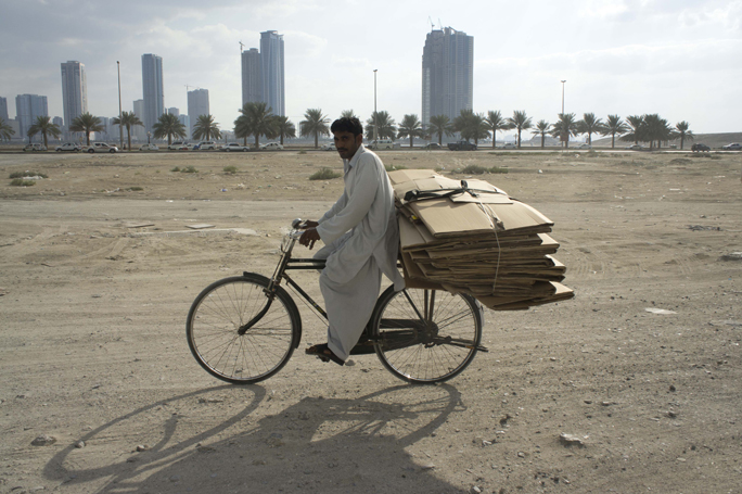
Mapping Dubai began outside the artist’s home in Media City at 12am March 5th and ended at 12am March 6th along the Dubai Creek. Mapping Dubai was commissioned by the US Consulate General to mark the 40 years of U.S.- UAE diplomatic relations. The artist’s final destination at the end of the 24-hour experience was the new Consulate compound in Bur Dubai. The light-box will be permanently installed in the new US Consulate building, inviting visitors to explore and engage with the city of Dubai and its rich identity. Throughout the photographic experience the artist equally engages the inane and the sublime, treading gently along the act of public statement and private reverie.
Mapping Bahrain began in Jaw, a sleepy fishing village on the southeast cost of Bahrain. The first photograph was taken on the beach at sunrise at 5:23AM on April 7th 2011. The artist spent the rest of the 24 hours moving throughout the country photographing historical sites, varied landscapes, passing people and objects, always in search of the subtle visual language that is uniquely Bahraini. Throughout the photographic experience the country of Bahrain revealed its multifaceted society in all its majesty and contradiction; at times startling, at times affably subdued. The last photograph was taken at 5:23Am on April 8th on a deserted stretch of road flanking the Hidd Bridge.
Mapping Latitude 45.36 Longitude -123.36 began at the end of an overgrown dirt road in the middle of Yamhill County, Oregon, USA. The land was situated far from anywhere and left to its own methods; things were growing and living as only they could. The first image was taken at 12pm on August 16, 2011. As the project unfolded and the ever-growing visual residue became manifest, what had originally appeared similar now became evidently different.
Mapping Istanbul began at sunrise on 6:46am on September 17, 2011. The first image was taken on the Galata Bridge, the symbolic and physical link between the secular and traditionally religious parts of the city. The artist made his way through the streets of Istanbul without seeking out the monuments that are on the ‘must see’ list. Lopardo favored the quiet residential areas and the smaller shopping districts in sprawling urban center.
Mapping Sharjah began at the Maraya Art Center at 12PM on November 9th 2011. The starting point highlights the pivotal role that the Center has played in establishing a viable platform for contemporary visual arts in the UAE. The project ended 24 hours later near Sharjah’s economically viable Fish Market. The artist proceeded to move through the commercial and high-density residential areas throughout the day and then meander his way through the outlying low-residential areas throughout the night. The experiences brought to light Sharjah’s resolve to create a modern city, complete with new public spaces that are culturally relevant and engaging, while remaining true to the cultural norms and standards from its not so distant past.
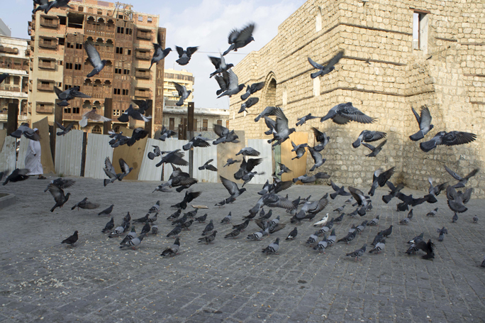
Mapping Jeddah began on the rooftop of the Serafi Mega Mall on Prince Mohammed Abdul Aziz Tahlia St. in the heart of Jeddah. In deference to the importance of Islam in Saudi Arabia, the artist chose to not take an image during the daily five calls to prayer. The project started with the first call of prayer (Fajr) at 5:33AM on December 17th 2011, thus the first image in the Mapping Jeddah grid is a white space as are the spaces at (Dhuhr) 12:19PM, (Asr) 3:23PM, (Maghrib) 5:44PM, and (Isha) 7:14PM. The city of Jeddah opened itself up in the most unusual and magnificent of manners throughout the photographic performance, in particular, the oldest part of Jeddah, the Al-Balad district. The performance ended once again on a rooftop in the heart of Jeddah, one minute prior to the next day’s first call to prayer.
Roberto Lopardo was born in Brooklyn, New York in 1975. He carries a Master of Fine Arts from the Rhode Island School of Design (RISD), a teaching certificate from Brown University, and a Bachelor of Arts in Politics and Philosophy from Whitman College.
Lopardo previously taught at the Arizona School for the Deaf and Blind, Dine College, Rhode Island School of Design, and the University of Arizona. He is the former Dean and Professor of Photography at the American University in Dubai. Lopardo’s work has been exhibited in many prominent venues including the RISD Museum in Rhode Island, the US Consulate in Dubai, the Tenri Institute in New York, Video-Appart in Paris, and the Emerson Gallery in Berlin.


